Forest Research
UAS- and satellite-based remote sensing for spatio-temporal forest analysis



Our Research
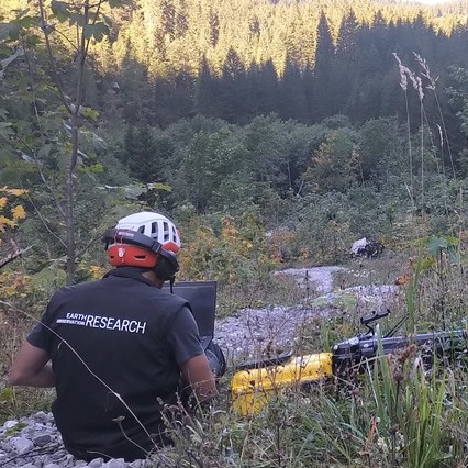
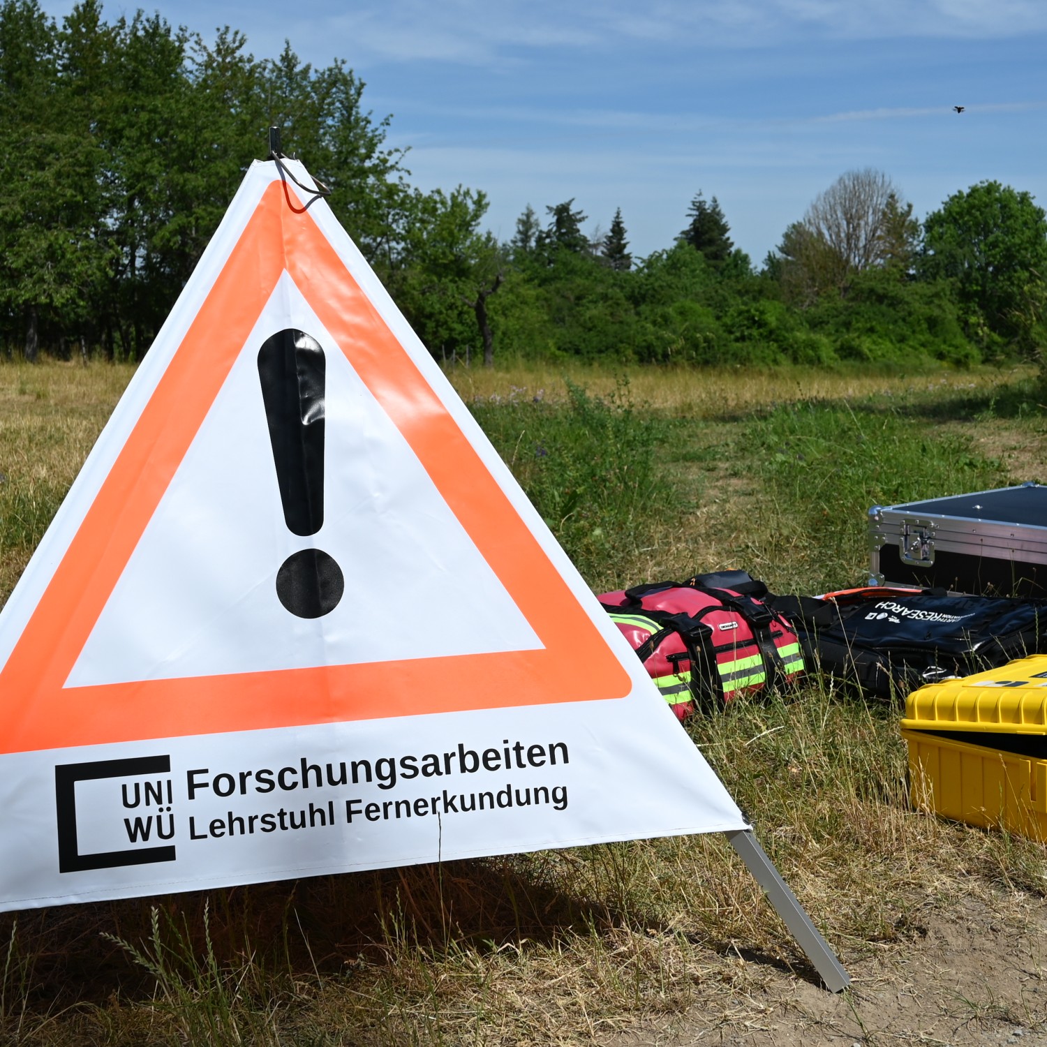
UAS and satellite based research on forest ecosystems using multi-spectral, thermal and Lidar data. We apply UAS/VTOLs to map forest in very high spatial, spectral and on multi-temporal scales for ecological applications at the Earth Observation Research Cluster at JMU.


UAS to satellite
Vestibulum ac diam sit amet quam vehicula elementum sed sit amet dui. Cras ultricies ligula sed magna dictum
Field Acquisitions
Spatio-temporal Data
Applied Earth Observation
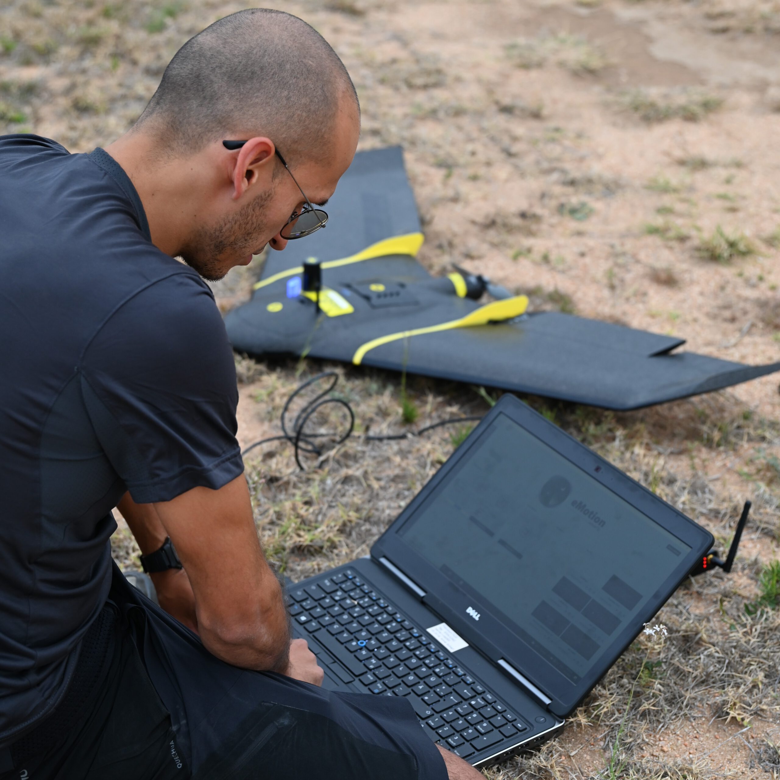
Within our applied Earth Observation research we conduct multi-scale, multi-sensor and multi-temporal UAS data acquisitions beside the space-borne satellite data analysis. Using various UAS systems like VTOLs we are able to map vertical and horizontal forest structure for various applications.


About Us
We are researchers at the University of Wuerzburg, at the Earth Observation Research Cluster, a joint cluster by the Departments of Stefan Dech and Hannes Taubenboeck.
Applications
Phone
(+49) 0931-31 …
EORC news
Address
Earth Observation Research Cluster
John Skilton Str. 4a
97074 Würzburg, Germany
